By Tesha M. Christensen
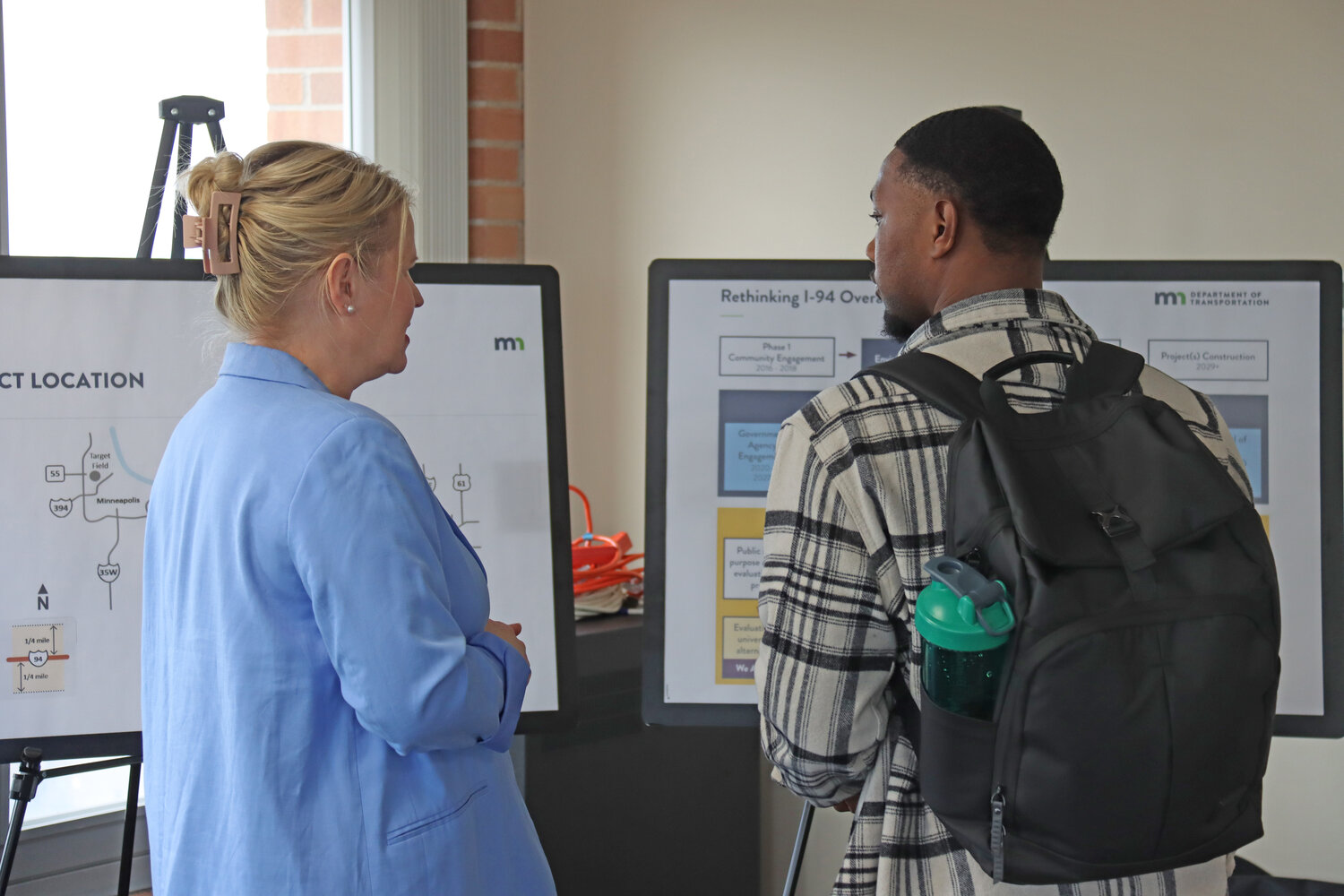
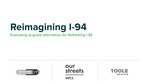
As MnDOT evaluates its upcoming Interstate 94 project, community members are talking about how they live, work and play along the corridor, and what they envision for the next 50 years. It’s part of the Rethinking I-94 project.
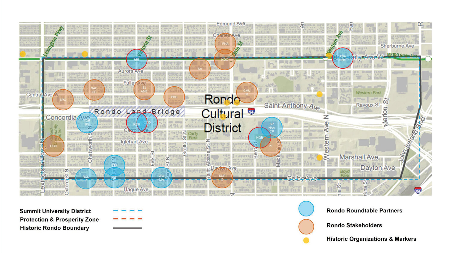
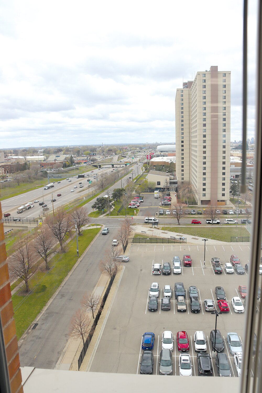
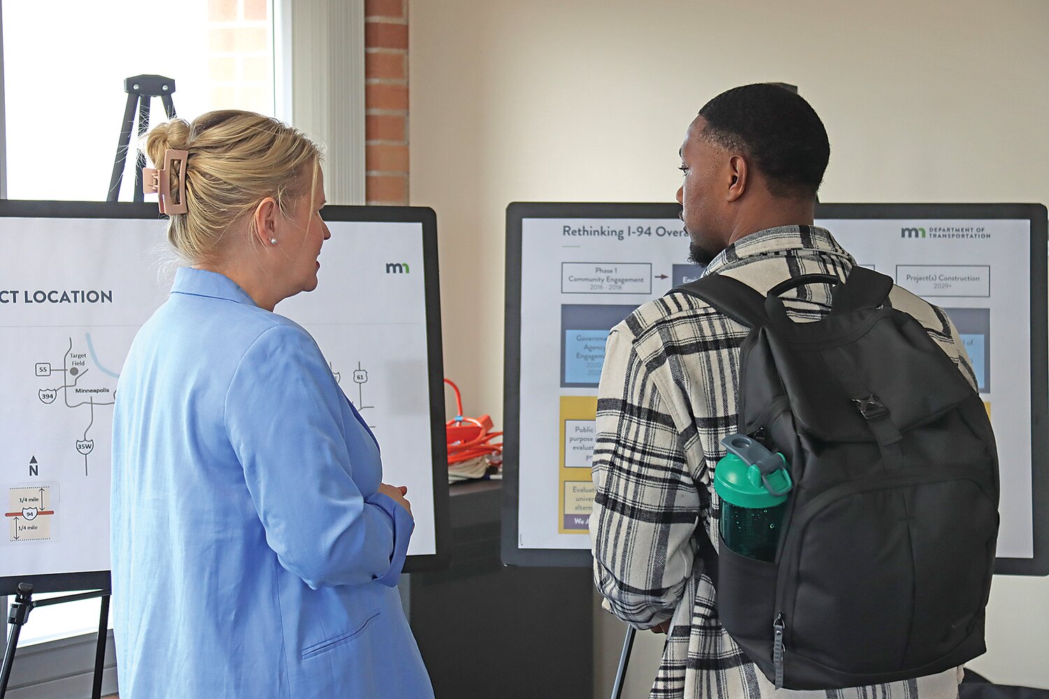
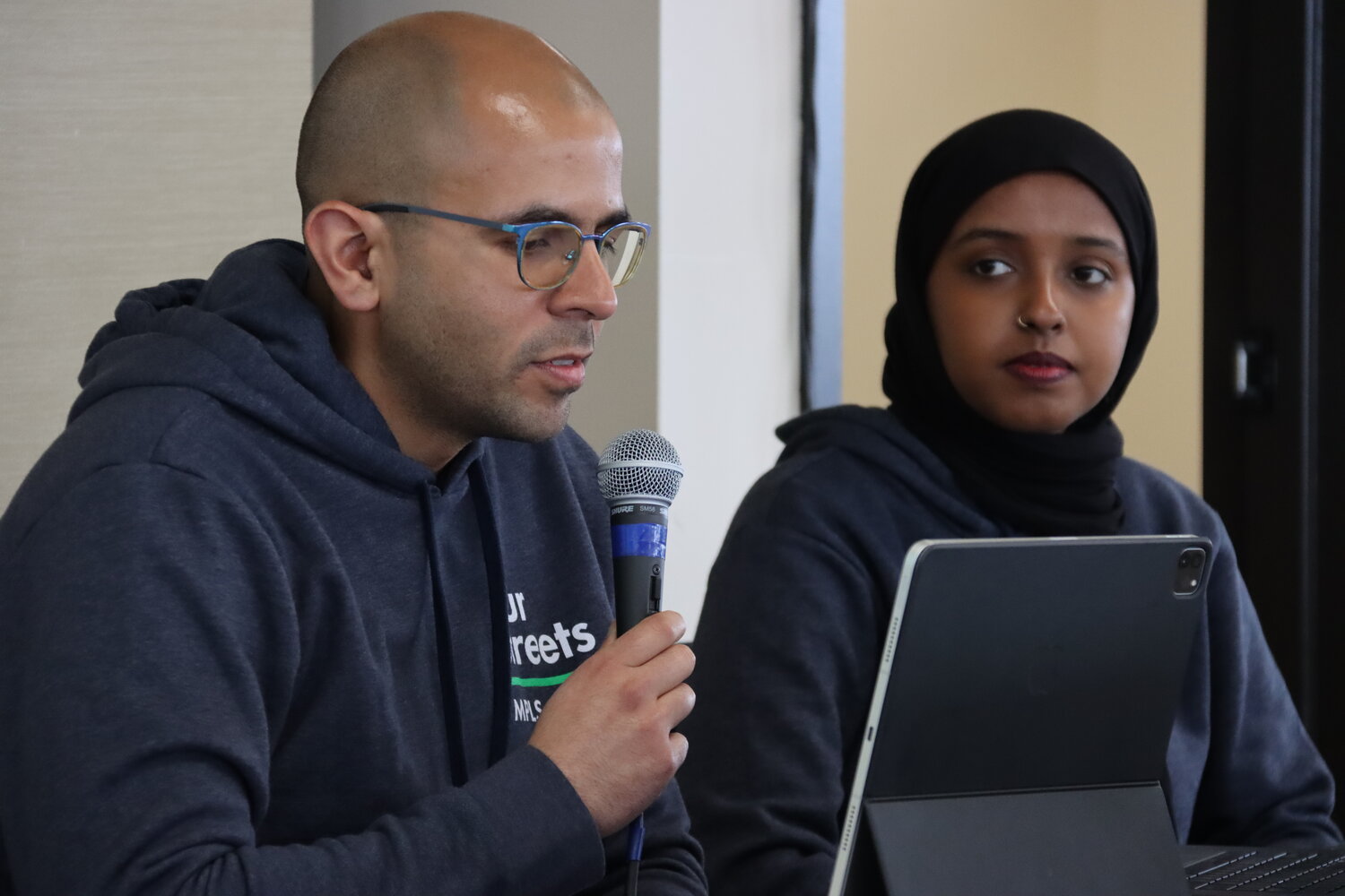
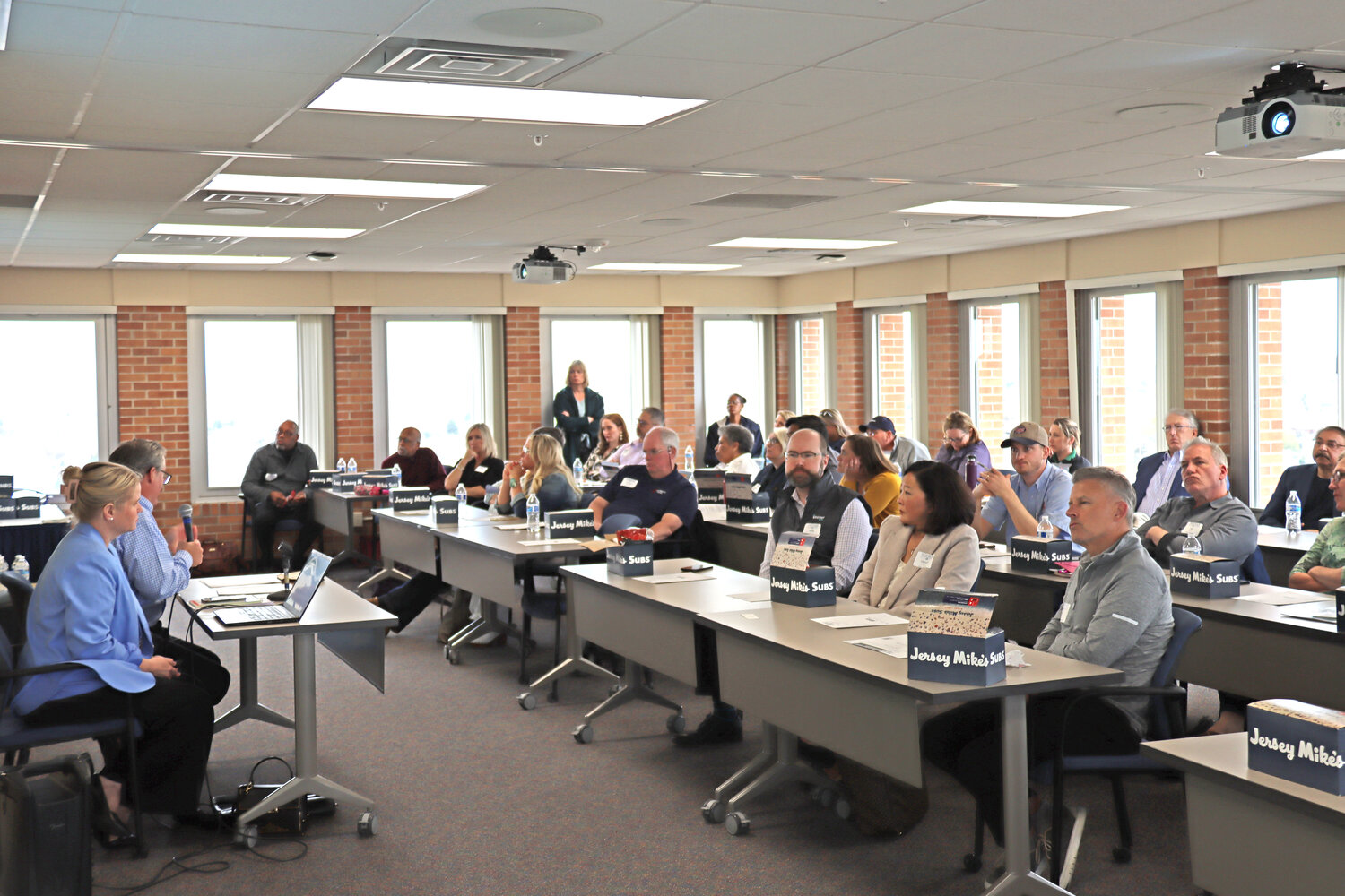
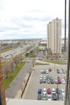
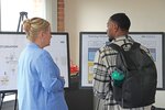
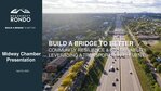
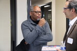
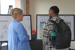
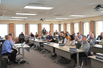
ReConnect Rondo has proposed creating a community land bridge around the site of the historic Rondo community. Our Streets has suggested replacing the existing freeway with a multi-modal boulevard and returning the surrounding land to neighborhoods. Recently representatives from the three groups presented to the Midway Chamber of Commerce. The meeting was held on the ninth floor of the former Central Medical building with views of I-94 in both directions.
RONDO LAND BRIDGE
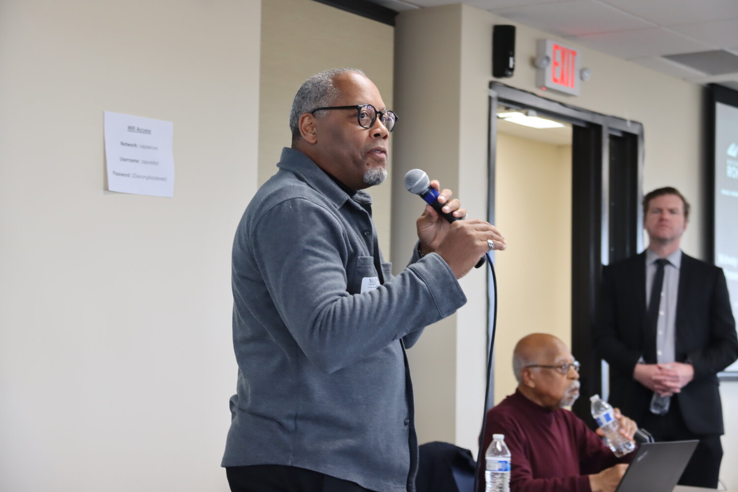
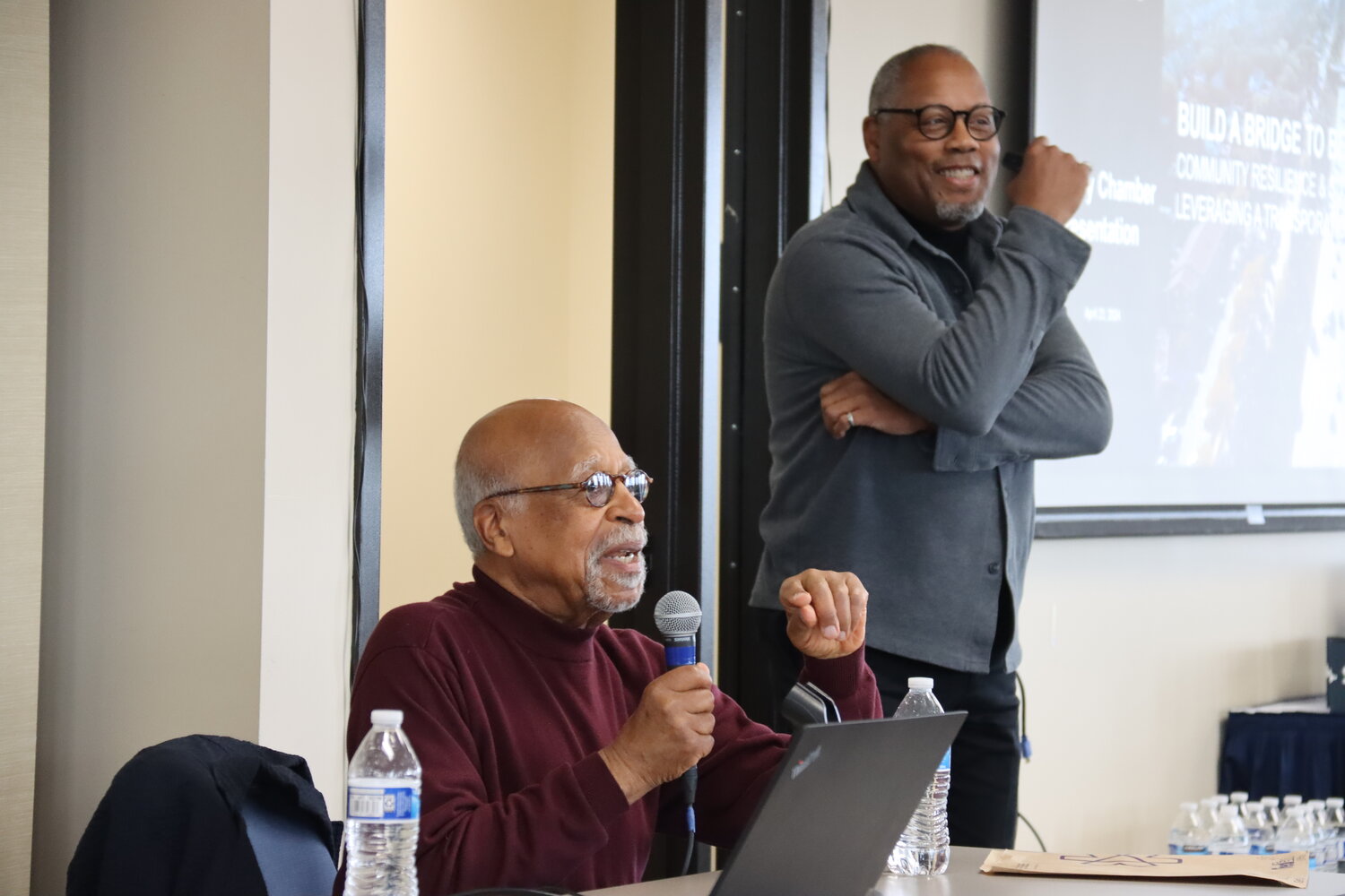
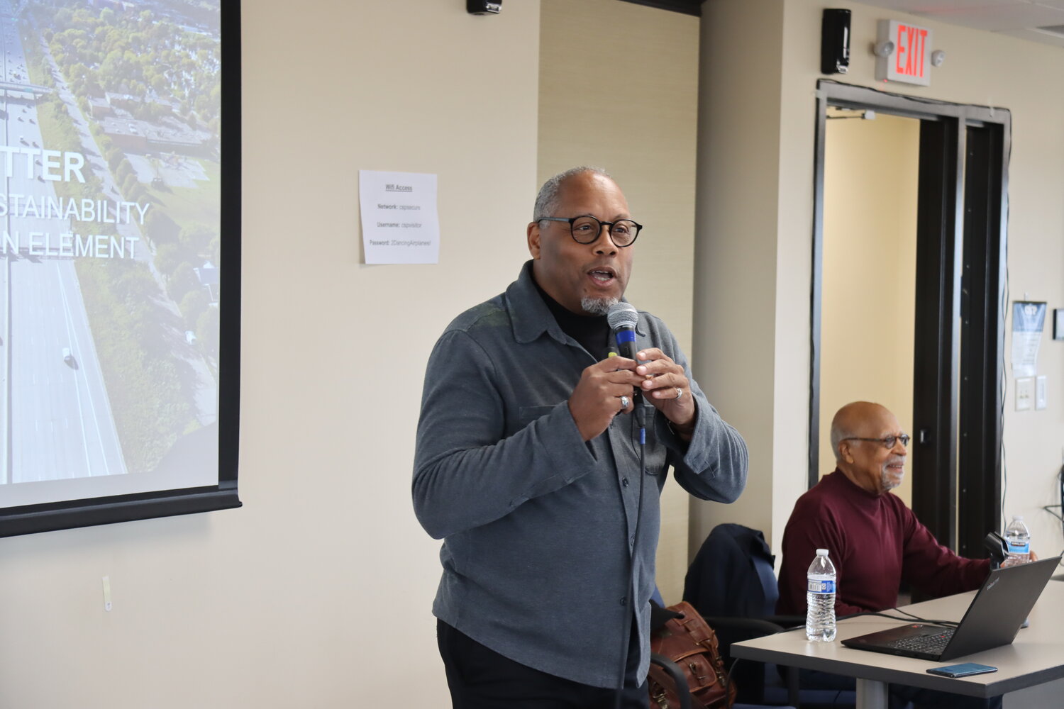
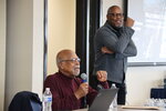
ReConnect Rondo aims to fix some of the wrongs done when Interstate I-94 carved through a Black middle-class neighborhood, according to Marvin Roger Anderson and Keith Baker.
A northern option for the interstate would have followed Pierce Butler Route, but the southern route was chosen through Rondo, which was designated as a slum.
This political and intentional decision resulted in the loss of 700 homes and 300 businesses between 1950 and 1969, including the home at 1021 Rondo Ave. that Anderson’s grandfather lived in until it was taken. He and three of his friends had also owned four lots at 989 and 995 Rondo that they constructed 12 townhomes on. Today, the loss of property in Rondo is about $250 million in unrealized home equity. There is an annual earning gap of $370 million.
“Why did they feel like they could come into our community?” Anderson asked.
“Minnesota ranks next to Mississippi in racial disparities,” pointed out Baker.
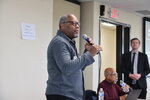
Baker worked at MnDOT for 18 years and is now the ReConnect Rondo Executive Director. When the Central Corridor rail line, now called the Green Line, was proposed in 2009, there were no stops in Rondo, he stated. The idea emerged then: “Not only do we want stops, why not replace the land that was taken in the 1950s,” said Baker.
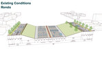
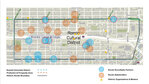
In 2018, a five-day advisory panel by the Urban Land Institute recommended creating up to 21 acres of new land over the I-94 freeway from Lexington to Rice St. They also advised creating an African American cultural enterprise district around the new land bridge that would be constructed and maintained by MnDOT.
ReConnect Rondo envisions a community-led development that emphasizes community ownership, history and cultural strengths, 21st century innovations (bringing broadband to Rondo), and the assets of the historic Rondo area. “When the community is the developer, the community becomes the beneficiary,” said Baker.
They have done a number of studies, including an anti-displacement and community investment study. In order to keep residents and businesses in the neighborhood, a Community Reinvestment Fund will be created to use revenue from the land bridge to support community assets. A Community Investment Trust will enable the Rondo Community to benefit from future development on and off the land bridge. A Right to Remain and Return for people who were displaced and their descendants will be established. Together, these initiatives will build wealth. “It’s a systems approach,” said Baker.
Now in the planning phase, the land bridge will include 21 acres, parks and open space, 576 housing units, and 140,000 square feet of marketplace/institution/non-profit. It will add 1,800 jobs to the city with over $3 million in annual city revenue. Construction could begin in 2026 and be completed by 2030.
The land bridge (sometimes referred to as a “cap” or “lid”) fit within all of the Rethinking I-94 options that have been presented by MnDOT except for the at-grade options and expansion A/B alternatives. ReConnect Rondo staff pointed out that there have not been traffic analyses or modeling of daily vehicle movement for at-grade options that will fill in the trench and bring the roadway back to be a city street. They also have mobility and safety concerns.
In Minnesota, there is a cap over Hiawatha Ave. in Minneapolis, providing space for Longfellow garden. In Duluth, a cap over I-35 is filled with a park and gardens. There is a similar park (Klyde Warren Park) over the Woodall Rodgers Freeway in Dallas, Texas. The first highway cap ever built was in 1976 in downtown Seattle.
The “Stitch” in Atlanta, Ga. plans to cap the I-75/I-85 Downtown Connector with green space and buildings spread over 14 acres on a three-quarter-mile platform. Construction is planned for 2026-2030.
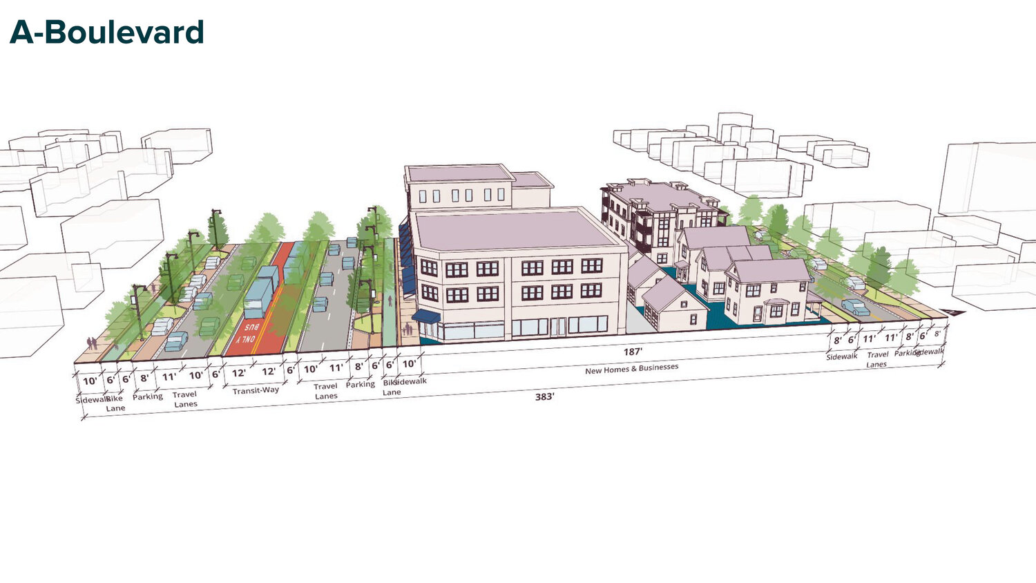
OUR STREETS: CONVERSION TO BOULEVARD
Our Streets is proposing that the interstate be eliminated, the trench filled in, and a boulevard created in its place. The reclaimed land could be used for new housing, businesses and parks via a community land trust. They are proposing a similar model for Olson Highway in north Minneapolis (the Bring Back 6th initiative). According to Our Streets, the original concept of the U.S. highway system was to bring people to the edge of cities, and then the network of streets and boulevards would carry people into and through cities. Plans changed, and interstates like I-94 were built through urban neighborhoods.
Our Streets Executive Director José Antonio Zayas Cabán pointed out that they have done door knocking and talked to 30,000 people in Minneapolis and St. Paul. Neighborhoods along the interstate have some of the worst air quality in the Twin Cities area. With that come health disparities as residents suffer from asthma, dementia and lower life expectancies.
I-94 interrupts the street grid, and it interrupts local access, observed Our Streets Advocacy Coordinator Yasmin Hirsi.
Every day, 120,000 people travel on I-94. Twenty-five percent of the trips on I-94 are less than two miles, and those trips don’t begin or end on I-94.
“Most people are going out of their way to use I-94 for short trips,” said Hirsi.
Other cities have removed their freeways. Construction on removing Interstate 81 in Syracuse, N.Y. through the downtown area will begin this year. When Central Freeway in San Francisco, Calif. collapsed in an earthquake, it wasn’t rebuilt as a raised interstate. Instead, it was replaced with an at-grade boulevard with side access lanes for parking. Some predicted that commute times would increase by two hours, but instead congestion improved. Over half of the car traffic “evaporated,” according to the Our Street presentation.
The right of way that could be reclaimed over the 7.5-mile stretch of I-94 between Minneapolis and St. Paul is equal to 50 Allianz Field stadiums, said Hirsi. That’s 10 acres in Cedar-Riverside, 26.1 in South St. Anthony Park/Merriam Park, 27 acres in the Midway, and 32.8 in Rondo.
“There is so much space to consider for better use than a freeway,” remarked Hirsi.
Cabán pointed out that I-94 is not serving its intended purpose of long-distance, inter-city travel.
Our Streets questions MnDOT’s modeling for I-94 traffic projects, and they believe a boulevard conversion can adequately serve transportation needs. They would like to see a “Restored Network” option added to the I-94 alternatives so that the potential for land use is factored in. Our Streets is pushing for a broader study area that includes both downtowns, additional parallel streets, and the portion of Highway 280 south of Energy Park Drive. They want to see the model account for short-term behavior changes and long-term land use changes following highway removal.
RETHINKING I-94
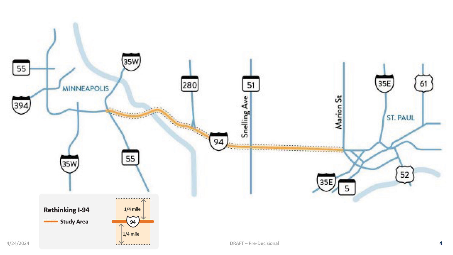
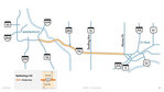
The 7.5 miles of Interstate 94 from Marion Street in St. Paul west to Highway 55/Hiawatha Ave. in Minneapolis is set for construction in 2029.
MnDOT is evaluating 10 possibilities for the roadway, from maintaining the existing roadway to upgrading it to current standards. MnDOT is also looking at removing the freeway and replacing it with an at-grade roadway with dedicated bus lanes. Or, they could separate local traffic roadway on either side of the freeway. The freeway could be reduced, reconfigured, or expanded.
Rail transit is not being considered.
MnDOT is planning for walkability and bikeability improvements within the corridor. MnDOT is also coordinating with ReConnect Rondo on a potential land bridge, and is creating a lid/stitch/land bridge working group.
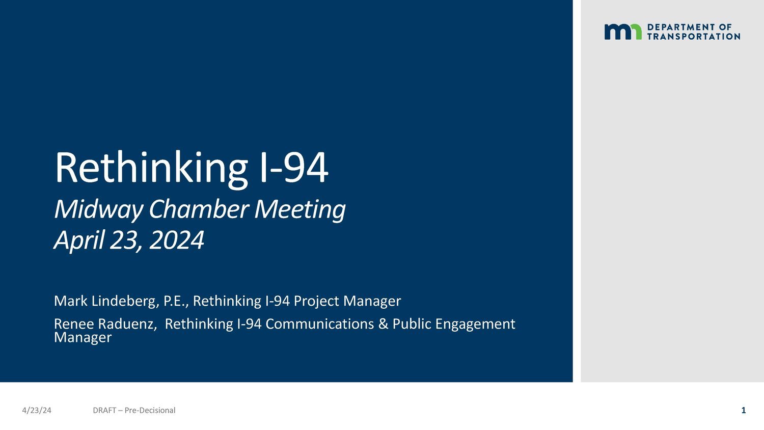
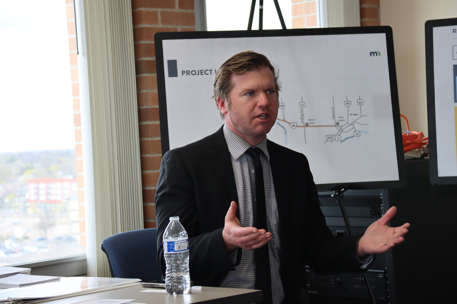
“We understand the importance of this corridor not only to the people who live along the corridor but to the region,” said Rethinking I-94 Project Manager Mark Lindeberg. MnDOT is focused on getting people to where they’re going in a reasonable amount of time, he said.
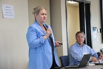
The alternatives on the table right now followed input from 3,350 surveys, 25 presentations, 21 community events, and 2,008,046 impressions on media platforms including newspapers, the project social media, website and digital advertising between June and November 2023. “We are working to get out there,” said Renee Raduenz, Rethinking I-94 Communications & Public Engagement Manager.


Comments
No comments on this item Please log in to comment by clicking here